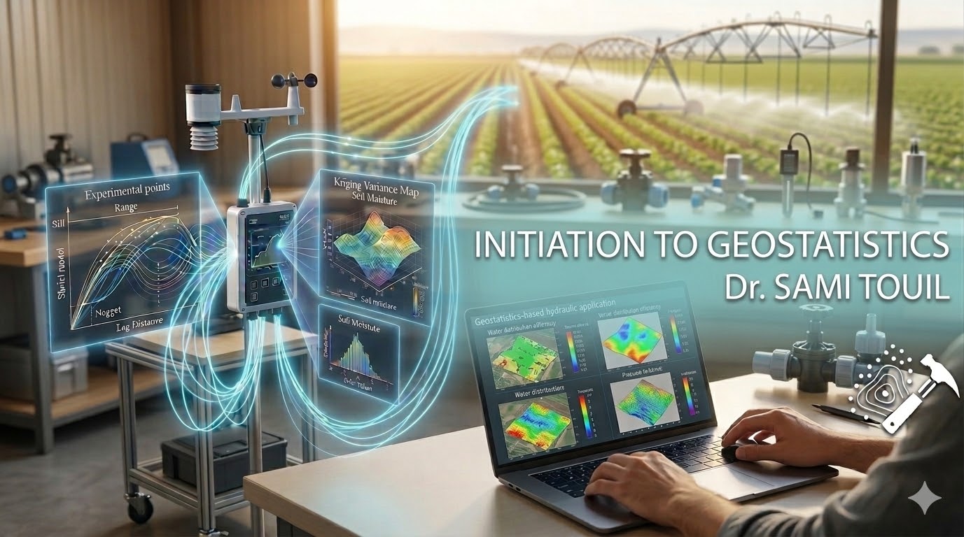
This course introduces the key fundamental principles of spatial data analysis applied to agricultural sciences. In agronomic sciences, variables such as soil texture, water quality are rarely uniform, they vary across a given geographic area.
This course provides L3 Soil & Water students with the practical tools to characterize models and spatial variability of agronomic datasets. Students will learn to treat the field as a continuous surface rather than isolated point data.
This course provides L3 Soil & Water students with the practical tools to characterize models and spatial variability of agronomic datasets. Students will learn to treat the field as a continuous surface rather than isolated point data.
- معلم: Sami TOUIL
- معلم: Hafsa Karahaçane
- Tutorial Teacher (TD): Chahrazed Naziha MATEN